No related resources
Introduction
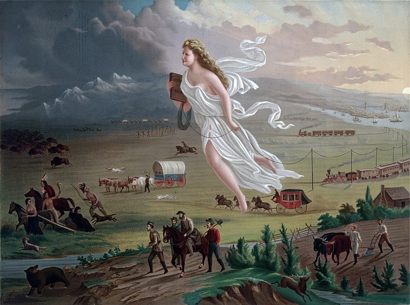
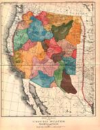
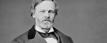
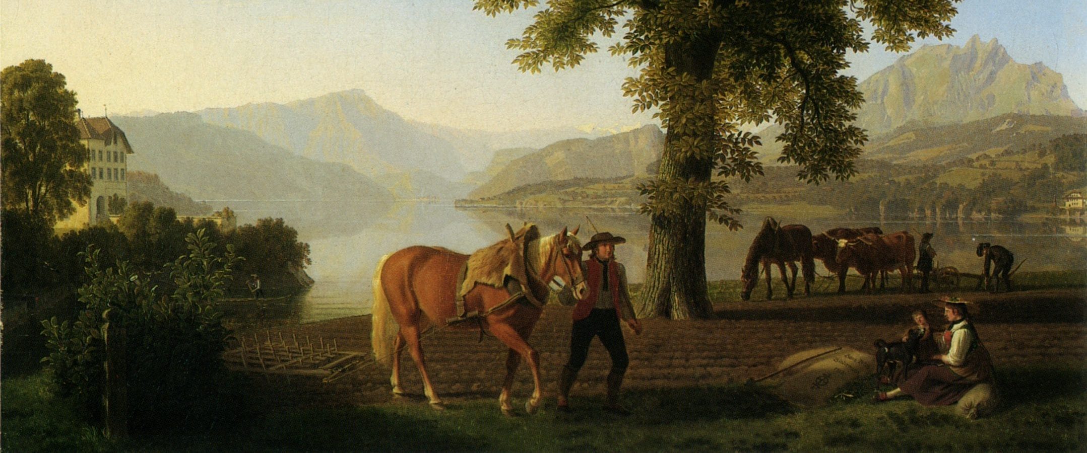
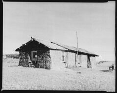
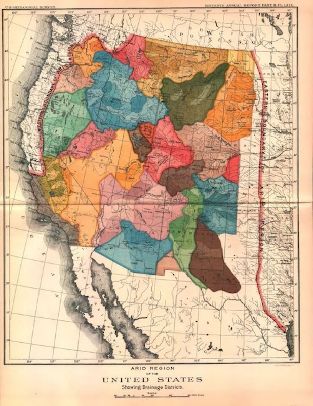
The United States acquired a vast domain through negotiation and war.* What were these lands like, especially the great trans-Mississippi West? Some of the Americans who knew this land best were Army officers who explored, fought over, and served in that territory. One of them, John Wesley Powell (1834–1902), ten years after his first exploration of the Colorado River, wrote a report in 1878 that highlighted the generally arid condition of the West, arguing that it would support agriculture only with irrigation. Western land speculators, railroads, and western boosters disputed this account. The U.S. government had given the railroads land as an encouragement to expand their lines westward. The railroads in turn sought to recover their investment by selling some of the land as farmland. But who would buy land that could not support farming without expensive irrigation? Charles Dana Wilber (1830–1891) was one of those who took to print to rebut the claims of Powell and others that the West was dry. Wilber did not deny that the West was drier than the East, but instead promoted the theory that farming would itself make rainfall more plentiful—in short, that “rain follows the plow.” Wilber published his claim during a relatively wet period, and it received some support, but when the next dry cycle came (in the 1890s), his theory seemed less plausible and Powell’s account more accurate. Powell testified before Congress in 1890 on the aridity of the West, producing several maps to illustrate his views (see cover image attached to this document).
Wilber’s account, excerpted below, is also noteworthy for its denigration of both the “experts,” like Powell, who claimed the West was arid, and of the Indians, whose land Wilber sought for settlers.
*See the following documents:
- Jefferson’s Letter to Breckinridge August 12, 1803
- The Transcontinental Treaty and American Expansion
- Polk’s Special Message to Congress on Mexican Relations May 11, 1846
- Polk’s Annual Message to Congress December 5, 1848
- Speech on the Cession of Russian America to the United States, April 8, 1867
- The Annexation of Hawaii
Source: C. D. Wilber, The Great Valleys and Prairies of Nebraska and the Northwest (Omaha, NE: Daily Republican Print, 1881), 138, 140–143, available at https://archive.org/details/cu31924083881155/page/n157/mode/2up.
. . . [W]e will consider next the present physical condition and future economy or productive ability of that vast western region of the United States being and lying west of the 100th meridian.
To some, a discussion of this topic in a space so limited may seem objectionable, but the questions involved relate so directly to western Nebraska, Kansas, and Colorado, that in presenting it we yield to a public demand, more especially urgent from the conflicting views now entertained in regard to the future status of our vast public domain.
I have selected from Gen. Hazen’s article in the North American Review, 1878,[1] a few extracts, as best representing the American desert literature, for which there seems to be a demand or craving, especially in eastern circles, for a reason similar to that which calls for stimulants, and which is proof of a vitiated taste instead of a healthy condition. Gen. Hazen, like many Army officers, had preconceived the Great West as a desert—a decision not to be overcome or set aside by any number of farms or amount of farm products. . . .
In the summer of 1869 or 1870, during the first construction of the Kansas Pacific Railway, I saw at a water station in western Kansas, not far from the Colorado line, on the 102nd meridian, a tall stalk of growing corn. It was doubtless chance sown from a grain car, but regardless of propriety or proper paternity, there it was, a live stalk of corn, like a miniature palm, growing in that desert soil, its broad leaves rustling in the wind with as much assurance of vigorous growth as if in Illinois or Iowa. It had two ears whose silk tips beneath the tall tassel or plume indicated that it would have its career according to the rule, “first the blade, then the ear, then the corn in the ear.”
The eastern excursionists on the same train, who had, in terms that denoted more strength than politeness, disposed of the whole region as worthless—an eternal desert, etc., saw in this apparition an argument that kept them silent, especially on the subject of soil and corn raining; but the exciting buffalo hunt doubtless dissipated the impression it should have made. But on the testimony of this living witness I took an appeal from the decision of Fremont[2] and Hazen, preferring to trust my eyes and believe what I saw rather than the hasty and sweeping conclusion of a prejudiced martinet.[3]
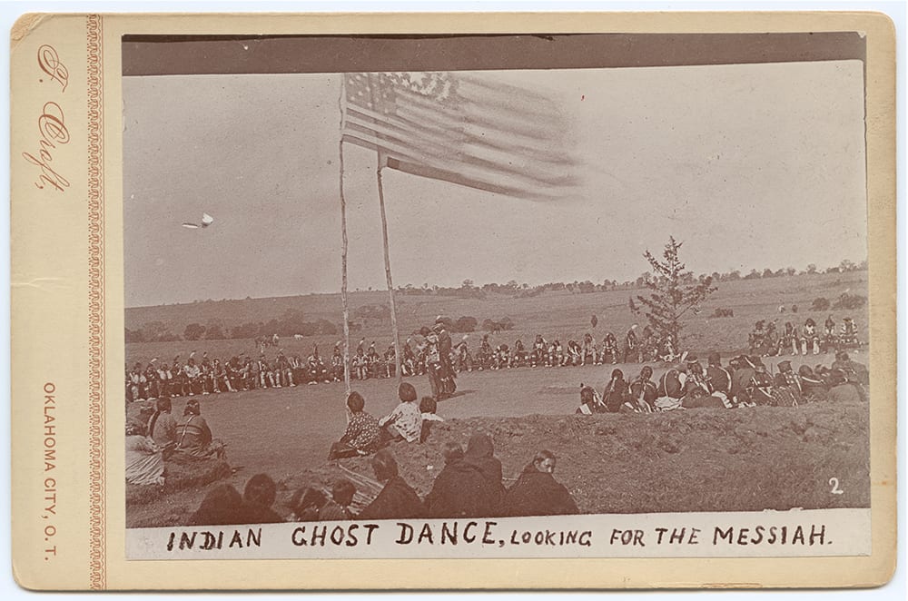
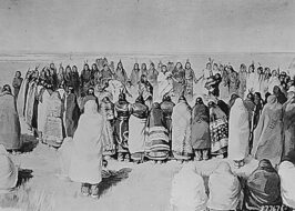
Beside this stalwart stalk of corn also grew a huge Canada thistle (Cirsium arvense). Soon after our arrival Little Raven the Cheyenne chief,[4] came to the station with a pony train of buffalo skin to exchange as usual for firewater, tobacco, powder, and guns, especially the latter because most needed in their favorite pastime of scalping the unwary white man. Comparing the corn and thistle growing side by side, one could not resist a preference “for the survival of the fittest,”[5] nor see any harm in the destruction of the entire tribe of thistles. Useless, like the thistle, it was clear that the Indian had no stronger claim. To civilize him and to make the thistle bear figs are similar tasks, which may properly occupy the minds of Utopian dreamers.
The soil of the extreme western counties of Nebraska, Dundy, Chase, and Hitchcock, on the 101st and 102nd meridians, is the same by analysis as the soil of Saline, Gage, Richardson, and Johnson Counties, in southern Nebraska.[6] For hundreds of miles we find an unvarying top soil of loess[7] two to five feet deep, slightly colored with burnt or decayed vegetation, with a subsoil identical in composition, but having its original light brownish-yellow hues. It is sometimes called the “bluff formation,” because first noticed in the vast line of bluffs on the Missouri River. But since it has been proved by Professor Aughey[8] to be identical with the loess or rich soil of the Rhine Valley in Germany, named loess, this name is coming into general use. The same soil extends over a large area also in China, where a dense population exists. Next to the deposits of China in size are these deposits. In Nebraska they occupy the entire state, as well as the northern portion of Arkansas. The northwestern portion of Nebraska, or the Niobrara region, as far as explored by competent observers, has the same soils, viz., the loess. It is however, in hilly regions, on the great divides, characterized by ridges or hills, which having the appearance of sand, were formerly supposed to be sand-hills or dunes. They are, on the contrary, merely areas of loess, as capable of grass and grain growing as the adjacent regions. Of the forty-nine millions of acres of Nebraska, I would not deduct over four million acres of the northwestern potion as nonproductive. This is a small ratio, compared to the nonarable regions of the eastern or middle states, where, over vast areas scarcely one acre in ten can be cultivated.
Of fifty letters and affidavits from farmers who have prosperous farms and homes on and beyond the 100th meridian, I give you one dated Lyndon, Neb., Aug. 26, 1878, . . .
The crop surface on the western border of settlements for 1879, extending north and south through Dakota, Nebraska, and Kansas, made a strip or belt ten miles wide and one thousand miles in length. During all the previous years and ages only sparse grass, in tufts or patches, has partially covered the ground, but now the new carpet of green, growing crops, for the first time wholly overspreads and shields the earth from the sun’s heat. The earth cannot be heated as before, and is less able to heat the air above it, and the air is, therefore, less able to contain its moisture. This being the fact over the entire area of growing crops, there must result a vast diminution of heat compared with former years. In other words, the crop surface, from sprouting to ripening—a period of four to six months—is a condensing surface, and will cause an increase of rainfall all along the line of farms from north to south, increasing in amount until the average measure of precipitation is reached. Every year will show the work of a large army of pioneer farmers, who, armed with the plow, will overturn and conquer a wide belt of the wild prairie desert, thus preparing the way for a still further advance in rainfall.
In these new states and territories the experience of farmers proves the following results:
1. The regular increase of precipitation, in periods of years, westward from the Missouri River.
2. The ratio of increase bears a direct ratio to the steady increase of farming and cropping.
3. The relation here stated is that of cause and effect. In other words, rain follows the plow. Across the states of Nebraska and Kansas, from east to west, over 300 miles, the plow has advanced in spite of prophetic starvation. The first settlers, twenty-five years ago, placed the desert limits just west of the Missouri River counties. These being occupied the desert line was established on the Big Blue,[9] seventymiles beyond. But the farmer invaded the Big Blue Valley, and the desert line was established near Kearney, 190 miles west of Omaha. But the irrepressible plow broke the barrier in so many places that the desert-makers fled with their line to the 100th meridian, determined to have and enjoy a desert. Both hordes of farmers have gone far beyond and secured farms whose products equal those of Iowa or Illinois.
There being really no reliable line or meridian which can be named as the boundary of our mythical American desert, I do not hesitate to say that it will never be found. There is no desert, neither is there any foundation in fact for the terms “nonfarming,” “nonirrigable,” and “pasturage lands.” These flimsy barriers have been interposed by wiseacres, kid-gloved experts and closet philosophers, but the farmer with his plow tears them asunder, leaving us to remember the experts only as charlatans or quacks. . . .
- 1. W. B. Hazen, “The Great Middle Region of the United States, and Its Limited Space of Arable Land,” North American Review 120, no. 246 (January 1875): 1–34. For example, pp. 2–3: “In going beyond the 100th meridian we pass at once into a dry, broken, and barren country, with very little timber, except thorny bushes, and, from lack of moisture, unfit for agriculture, excepting along the narrow margins of streams that can be irrigated.” William Babcock Hazen (1830–1887) served in the Civil War and then for a number of years at various posts in the West.
- 2. Charles Frémont (1813–1890) was a military officer and noted explorer of the western United States.
- 3. Perhaps a reference to Frémont, whom some thought autocratic.
- 4. Little Raven (c. 1810–1889) was an important Arapaho chief who generally sought peace with the U.S. government.
- 5. A phrase coined by Herbert Spencer in 1864, “survival of the fittest” means that organisms best adapted to an environment will survive, while those less well adapted will not. In this case, Wilber is expressing the hope that the white man, like the corn, is better adapted to the western environment than the Indian or the thistle, and that the corn and the white man will survive. On the effort of those whom Wilber thought “Utopian dreamers” to civilize the Indians, see Americanizing the Indian.
- 6. The 100th meridian, which bisects the Dakotas, Nebraska, Kansas, and Texas, forming part of the boundary of Texas and Oklahoma, is conventionally taken to be the point at which the West and the arid region begin. The counties mentioned are on the eastern side of the 100th meridian in Nebraska.
- 7. Loess is a wind-blown sediment.
- 8. Samuel Aughey (1831–1912) was a naturalist and geologist at the University of Nebraska who defended the claim that “rainfall follows the plow.” In 1880, he and Charles D. Wilber coauthored a booklet on agriculture beyond the 100th meridian. According to some reports, he was implicated in a financial scandal and resigned from the university.
- 9. A river in eastern Nebraska and Kansas.
Annual Message to Congress (1882)
December 04, 1882
Conversation-based seminars for collegial PD, one-day and multi-day seminars, graduate credit seminars (MA degree), online and in-person.
